After enduring drought conditions in 2022 and 2023, Missourians hoped for a wet growing season this year. According to University of Missouri Extension state climatologist Zachary Leasor, the state experienced above-average precipitation from April to July, giving many areas some much-needed relief.
On July 23, the U.S. Drought Monitor reported that only 1.1% of Missouri was abnormally dry, with no drought conditions across the state. However, while many regions celebrated this recovery, others contended with too much water. Between April and July, Missouri saw 160 flash flood warnings and 297 river flood warnings, according to Leasor.
Despite the initial wet conditions, the weather took a turn in mid-July, leading to drier weather that continued into August. Preliminary statewide data showed average precipitation in August at 2.81 inches, which was 0.91 inches below the monthly norm.
Southeast Missouri, in particular, suffered from a significant lack of rainfall. Pemiscot County experienced its third-driest August on record, with portions of the region receiving less than 0.5 inches of rain. Seven southeastern counties also recorded a top five warmest August in history.
While the remnants of Hurricane Francine brought some rain to southeast Missouri in September, the rest of the state remained predominantly dry. Leasor noted that Columbia and Kansas City recorded only a trace of rainfall during the first 18 days of September.
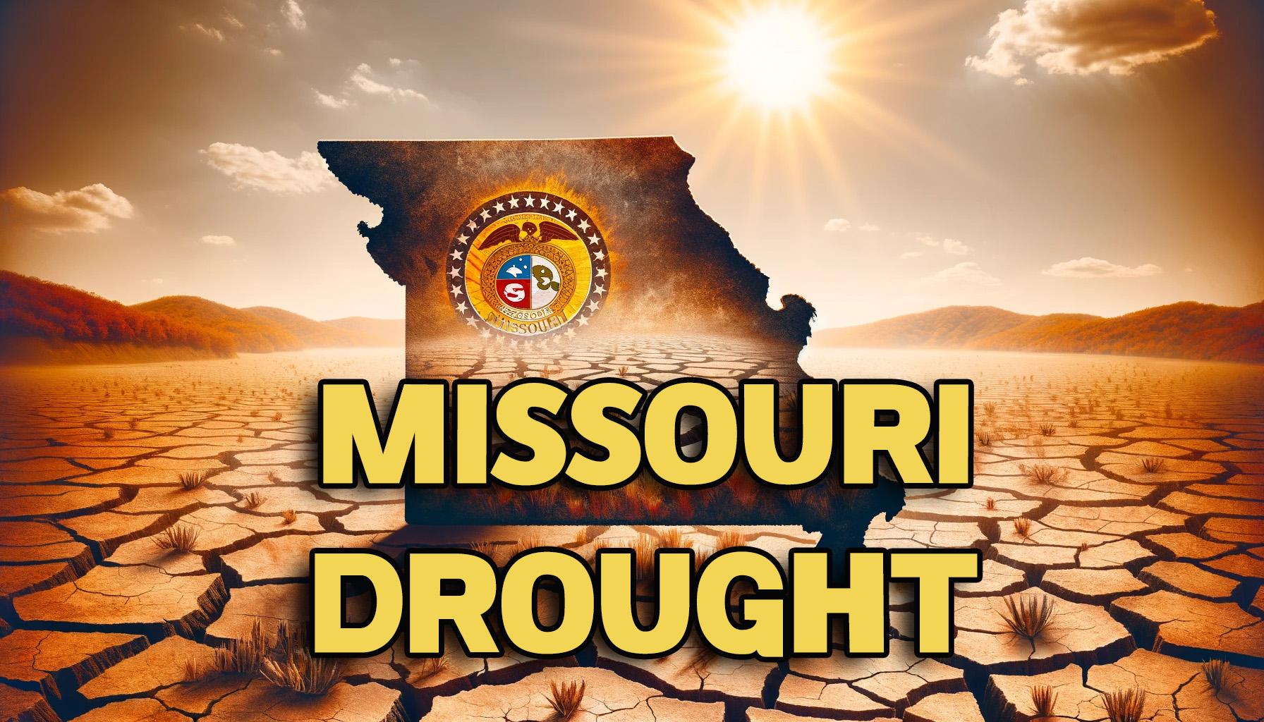
By September 19, over 80% of Missouri was classified as abnormally dry, with 47% of the state facing moderate drought conditions. Severe drought had also emerged in southeastern Missouri, the St. Louis metro area, and west-central Missouri along the Kansas border.
Several areas saw rapid degradation, with some locations experiencing a three-class decline in their U.S. Drought Monitor status within one month. The late-season drought began to impact agriculture, leading to dry pastures, reduced hay availability, and stressed soybean crops. Additionally, pond levels fell across many areas.
Leasor reported that a multiday rain event from September 20 to 25 brought some relief, but much of Missouri remains below average in rainfall for the last 60 to 90 days. Forecasts from the Climate Prediction Center at the National Oceanic and Atmospheric Administration predict a 33%-50% chance of a drier-than-average October for the state.
“Without additional rainfall, the state could expect the persistence or worsening of drought conditions,” Leasor said. Fall drought impacts may include increased fire risk, difficulty cutting hay and planting cover crops, and low stream flows. Missouri’s next potential for significant rain may come with the remnants of Hurricane Helene.

