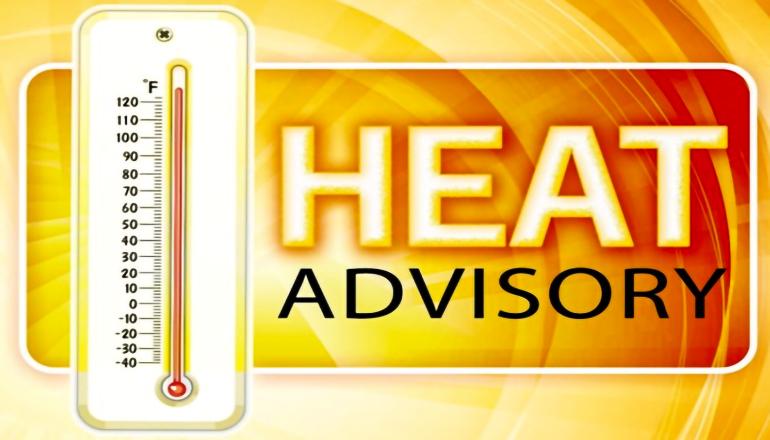
The National Weather Service has issued a Heat Advisory, which remains in effect from 11 AM this morning, Wednesday, July 26, until 9 PM CDT Friday, July 28, for various counties in east-central and northeast Kansas, as well as central, north-central, northeast, northwest, and west-central Missouri. Heat index values are expected to soar up to 108 during this period, prompting concerns about heat-related illnesses.
Residents in the following Missouri counties should be on high alert during this advisory:
Adair, Andrew, Atchison, Bates, Buchanan, Caldwell, Carroll, Cass, Chariton, Clay, Clinton, Cooper, Daviess, DeKalb, Gentry, Grundy, Harrison, Henry, Holt, Howard, Jackson, Johnson, Lafayette, Linn, Livingston, Macon, Mercer, Nodaway, Pettis, Platte, Putnam, Randolph, Ray, Saline, Schuyler, Sullivan, Worth, and more.
Heat illnesses can pose significant risks to health, especially for vulnerable populations such as the elderly, young children, and pets. To stay safe and cool during this period, the National Weather Service recommends taking the following precautions:
- Stay Hydrated: Drink plenty of fluids, especially water, to keep your body hydrated.
- Seek Air-Conditioned Environments: Stay indoors in air-conditioned rooms to escape the heat.
- Avoid Direct Sunlight: Limit exposure to the sun and try to stay in shaded areas.
- Check on Vulnerable Individuals: Regularly check up on relatives, friends, and neighbors, especially those who might need assistance during extreme weather conditions.
- Never Leave Children or Pets in Vehicles: Under no circumstances should young children or pets be left unattended in cars, as vehicles can quickly become dangerously hot.
- Modify Outdoor Activities: If you must be outside, try to reschedule strenuous activities to cooler times of the day, such as early morning or evening.
- Recognize the Signs of Heat-Related Illnesses: Know the symptoms of heat exhaustion and heat stroke, such as heavy sweating, weakness, dizziness, nausea, headache, and high body temperature. If someone shows signs of heat stroke, call 911 immediately.
In addition to these precautions, the National Weather Service also advises wearing lightweight and loose-fitting clothing to stay comfortable in the heat. If you are engaged in outdoor work, take frequent rest breaks in shaded or air-conditioned areas, as recommended by the Occupational Safety and Health Administration (OSHA).
As for the weather outlook, tonight is expected to be mostly clear with a low around 74 degrees, and a north-northwest wind of 5 to 8 mph becoming northeast after midnight. Tomorrow, Thursday, will be sunny and hot, with a high near 100 degrees and a heat index as high as 105. The wind will shift from northeast to south in the afternoon, blowing at 6 to 10 mph.
Thursday night will see partly cloudy skies, a low around 79, and a south wind of 9 to 13 mph, with gusts as high as 18 mph. Friday will bring another hot and sunny day, with a high near 102, and a south-southwest wind of 15 to 18 mph, gusting as high as 26 mph. Friday night, there is a slight chance of showers and thunderstorms, with a low of around 77 and a 20% chance of precipitation.
The weekend is expected to start off sunny, with a high near 96 on Saturday.
Stay informed, take precautions, and stay safe during this Heat Advisory period.
