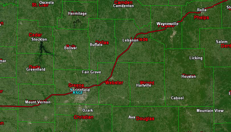
While all of Missouri is expected to see snow Sunday into Monday, the National Weather Service expects the heaviest snow to be along the heavily-traveled I-44 corridor in southern Missouri. Virtually all of southern Missouri is under a Winter Weather Advisory.
Snow will gradually spread west to east over the area by early afternoon and will continue tonight. Snow accumulation of 3 to 6 inches with locally higher amounts can be expected. Wind chill values will be well below zero.
National Weather Service, Springfield meteorologist Eric Wise tells Missourinet they’re expecting THREE waves of snow, bringing a total of three to six inches in Joplin, Springfield, Lebanon, Waynesville, and Rolla by Monday. Three to six inches of snow is also expected along the Missouri-Arkansas border.


